Esta parte aún no se ha traducido, por lo que se muestra en inglés.
Historia
Arab troops took Aswan, the Greco-Roman Syene, in 641-642; the town guarded Egypt’s southern border and was the seat of the governorate of Upper Egypt until the 11th century4. In the first centuries of Islam, Egyptian and North African pilgrims gathered here before crossing the Eastern Desert to the Red Sea port of Aydhab and sailing to Arabia4. Egypt’s Ministry of Tourism and Antiquities counts the town’s cemetery, on the east side of the city, among the oldest in the Muslim world, with burials from the 2nd century AH to the Mamluk period2. It once ran more than 2 km from north to south, a size Björnesjö and Speiser compare with Cairo’s City of the Dead4.
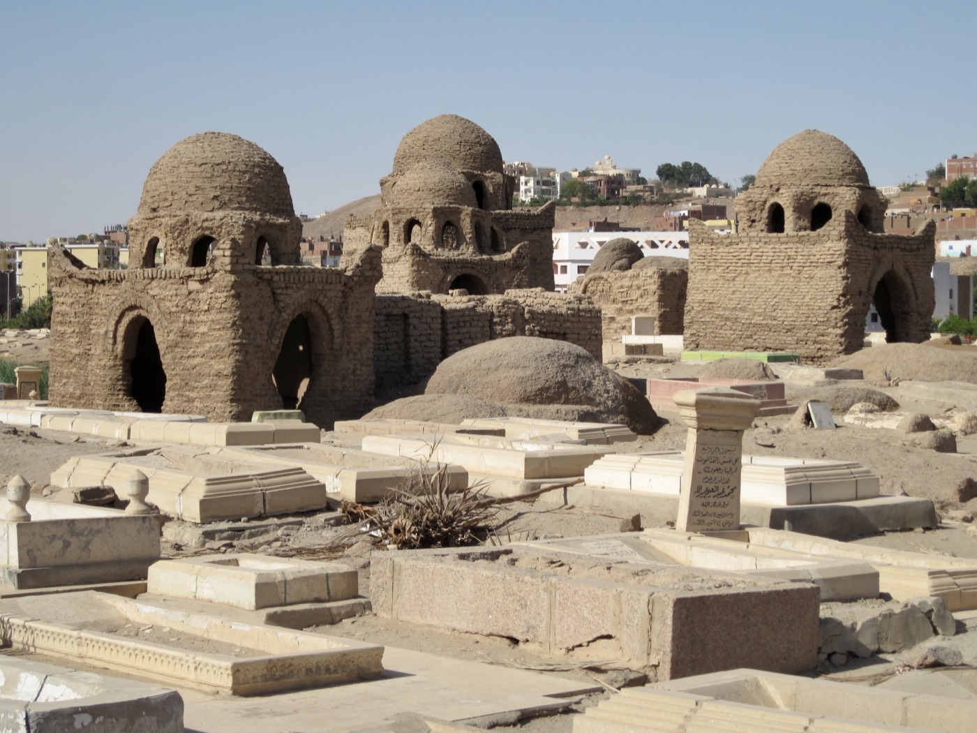
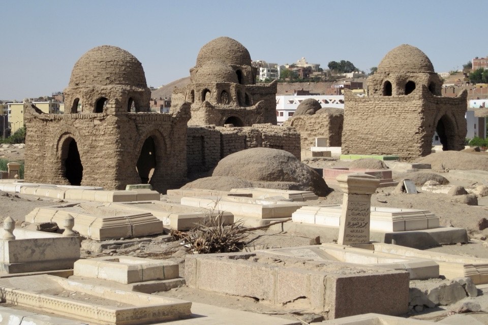
Edward Lane, who visited in 1820, described an “old Arab Cemetery” of mud-brick tombs, plastered and whitewashed, many with cupolas, which local people called the cemetery of the Companions of the Prophet4. After a heavy rainstorm, several thousand Kufic tombstones were moved in the 1890s to storerooms in Cairo and to the Aswan Museum4. Since the 1930s urban growth has erased at least three quarters of the necropolis; its best-preserved southern part is known as the Fatimid Cemetery4. UNESCO inscribed it in 1979 as the “Islamic Cemetery”, one of ten components of the Nubian Monuments1,3. From 2006 to 2014 a German Archaeological Institute team mapped and partly restored it with Egypt’s antiquities authorities4,5.
Arquitectura
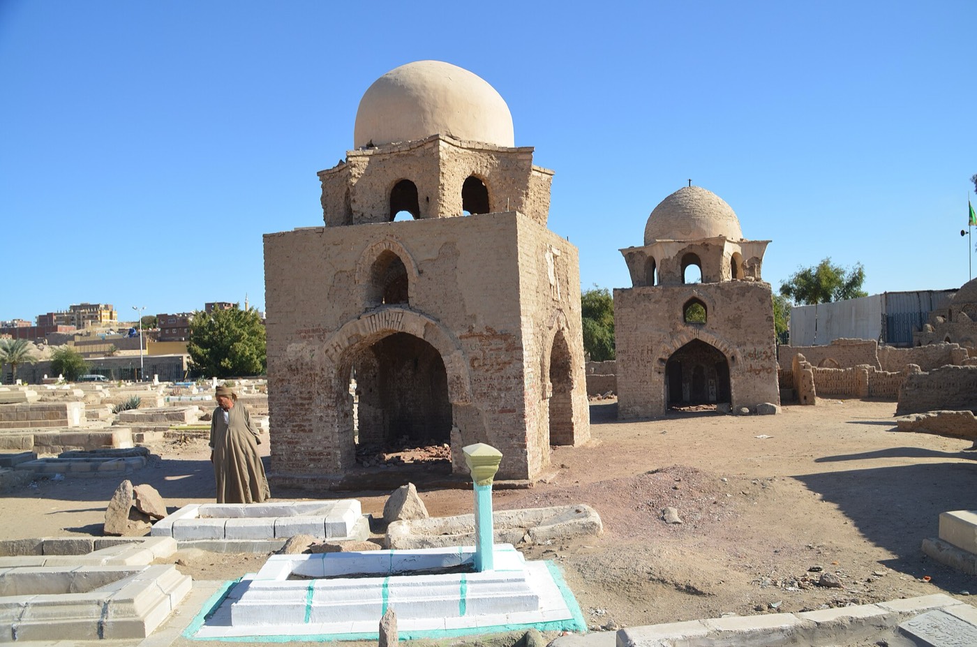
The South Necropolis covers about 600 by 500 m of rose granite bedrock, itself an important quarry field in Pharaonic and Greco-Roman times; to the east it reaches the quarries of the Unfinished Obelisk4,5. A road built in the 1960s cuts it in two: in the western part the larger monuments, mostly martyrs’ tombs or mashhads, stand on the heights, while the fenced eastern part holds two large groups of tombs on a gentle slope4. The DAI team found 30 of the 31 mausolea recorded by Ugo Monneret de Villard in the 1920s and recorded 17 more, 47 in all, besides about 350 ordinary tombs4; the institute’s project page gives a far higher figure, over 500 mausolea5. The Ministry lists among its main buildings the dome of the seventy-seven walis and the mashhads of al-Sharif Hasan, al-Sharif Haydara, Abbasa bint Khadij, al-Sada al-Ja’afira, Zaynab bint al-Hanafiyya and Sayyida Amna2.
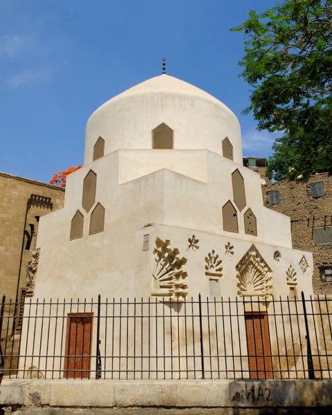
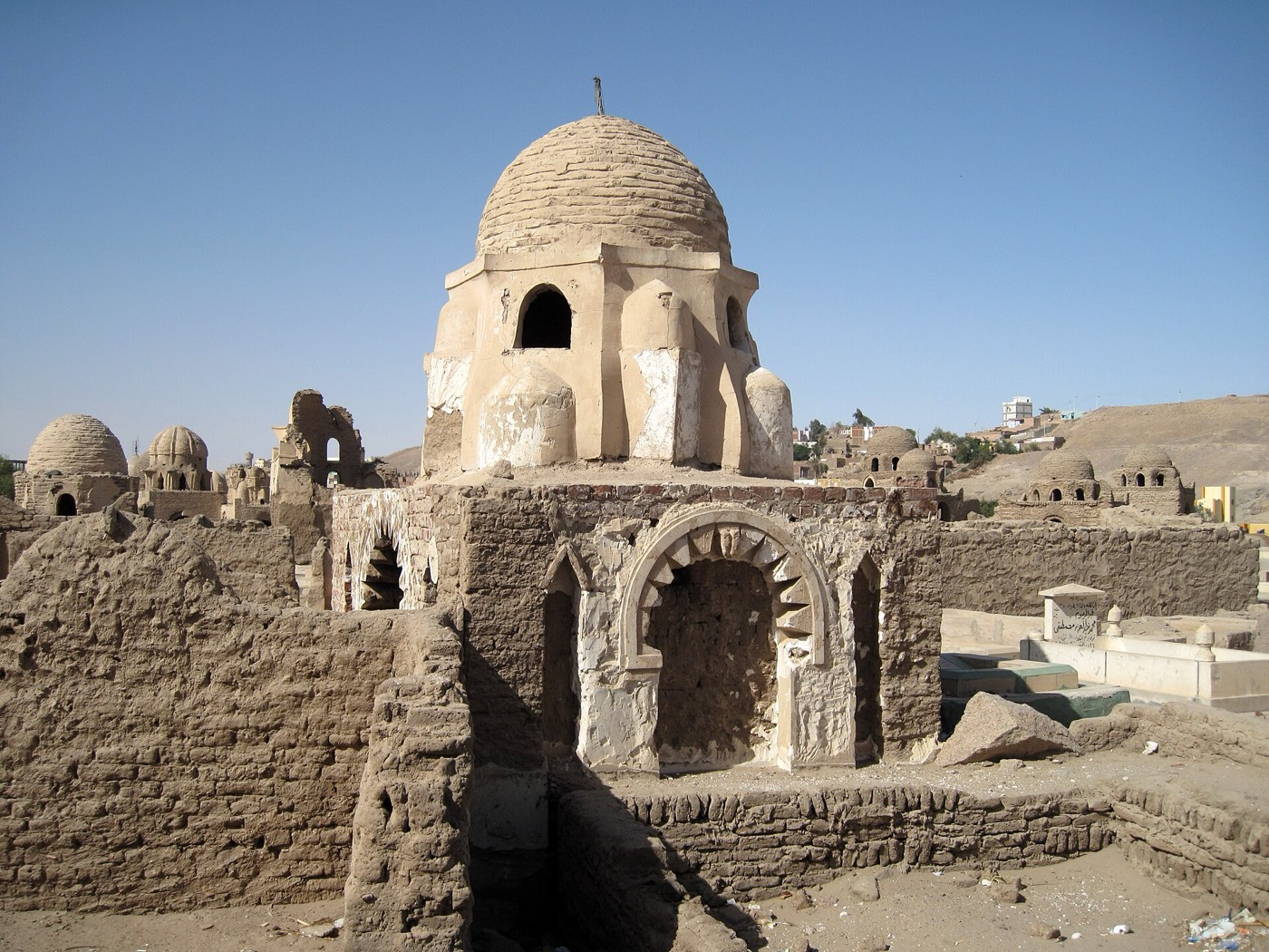
Most tombs are of mud brick and were plastered and whitewashed4. Björnesjö and Speiser define eight types, from graves outlined by a single course of rough stones to stepped or vaulted covers and box-like vaulted chambers built on the bare rock; most have a raised platform at the south end with a small niche marking the direction of Mecca4. According to the Ministry, the cemetery saw the first attempt in Egypt to build domes over tombs, in the Fatimid period2. Firm dates are rare: a tombstone reused in the masonry of mausoleum M10 names a woman who died in 415 AH (1024), so the building is later, and a fragment still in place in M9 is dated 500 AH (1106)4. Rising groundwater now threatens the mud-brick fabric6.
Interior
Visitors see the north end of the fenced eastern section, where a path marked by red-brick ground elements, with ten information points, crosses a zone of about 100 by 60 m4. Here the DAI team consolidated six mausolea and a small sabil, or water store (M6), and rebuilt the lost domes of mausolea 113 and 114 from surviving traces and by comparison with other domes4. In complex M7 a mausoleum adjoins a prayer hall of two aisles whose vaults fell long ago; only its mihrab was rebuilt4. Burials in the necropolis resumed in the 1950s, and families visiting their dead, funerals and bridal processions still cross the site, some of whose mausolea are venerated as saints’ tombs4.
Qué observar
- Domed mud-brick mausolea that the Ministry links to Egypt’s first domed tombs2,4.
- Mausolea 113 and 114, whose missing domes were rebuilt during the 2006-2014 works4.
- Complex M7: a mausoleum beside a two-aisled prayer hall with a rebuilt mihrab4.
- Raised south platforms with small niches facing Mecca on the ordinary graves4.
- The larger mashhads on the western heights near the Nubian Museum4.
Visita
- The marked visitor path is at the north end of the fenced eastern section, near the antiquities offices4.
- Part of the western section lies in the park of the Nubian Museum, where some tombs were preserved and restored4.
- The cemetery is still used for burials, so parts of it are active graves4.
Información oficial: Egypt’s Ministry of Tourism and Antiquities; UNESCO notes that the Supreme Council of Antiquities manages the property through the Aswan antiquities inspectorateCómo llegarAbrir en OpenStreetMapVisitas guiadas en Asuán