この部分はまだ翻訳されていないため、英語で表示しています。
歴史
The Barid Shahi tombs lie about ten furlongs (2 km) west of the old city of Bidar, the Bahmani capital from the mid-15th century1,2. Qasim Barid, minister and de facto ruler of Bidar under the Bahmani king Mahmud Shah, founded the dynasty and died in 1504; his son Amir Barid died in 15421. Amir’s son Ali Barid was the first of the family to take the title of Shah and ruled until 15801. Yazdani describes him as a cultured prince fond of poetry, calligraphy and architecture, who also built the Rangin Mahal in the fort of Bidar1. In 1565 he joined the alliance of Deccan sultans against Vijayanagara and fought in the battle at Talikota1.
Ali Barid built his own tomb; a chronogram on a tile panel gives 984 AH (1576-77) for its completion, three years before his death in 987 AH (1579-80)1. His son Ibrahim Barid (r. 1580-1587) lies in a similar but unfinished tomb, whose court adjoins the west wall of his father’s enclosure1. The kingdom shrank after Talikota, and in 1619 Ibrahim Adil Shah II of Bijapur took Bidar and annexed it1. After long neglect, when the gardens were ploughed up, Hyderabad’s Archaeological Department began conserving the tombs in 1918, recovered the land and restored the walks and flower beds1. The tombs belong to the Bidar component of a serial site on India’s UNESCO Tentative List2.
建築
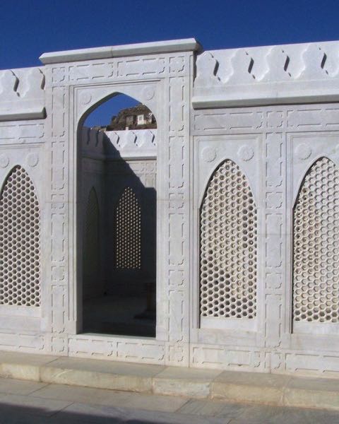
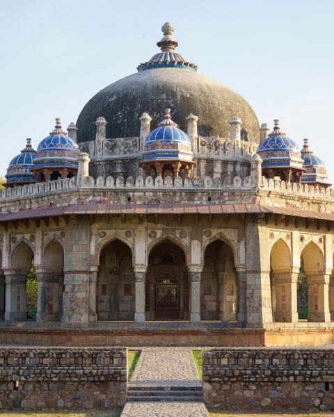
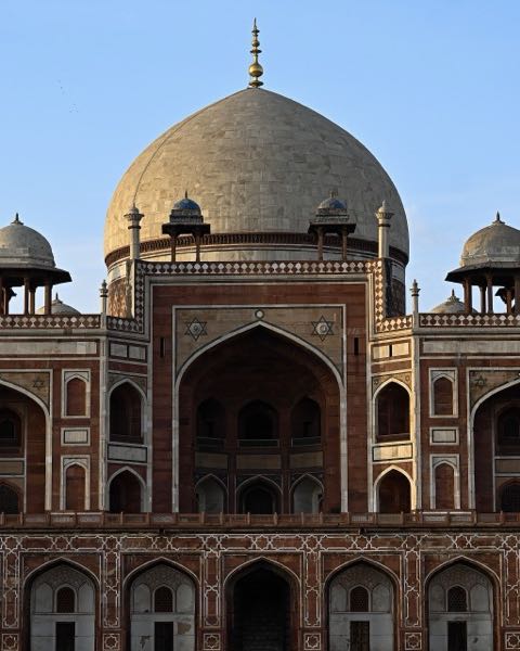
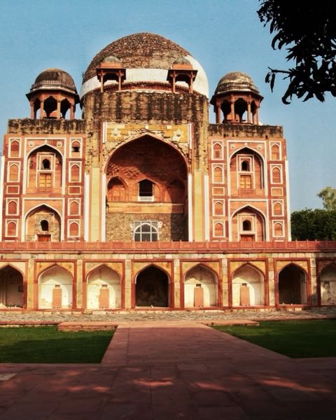
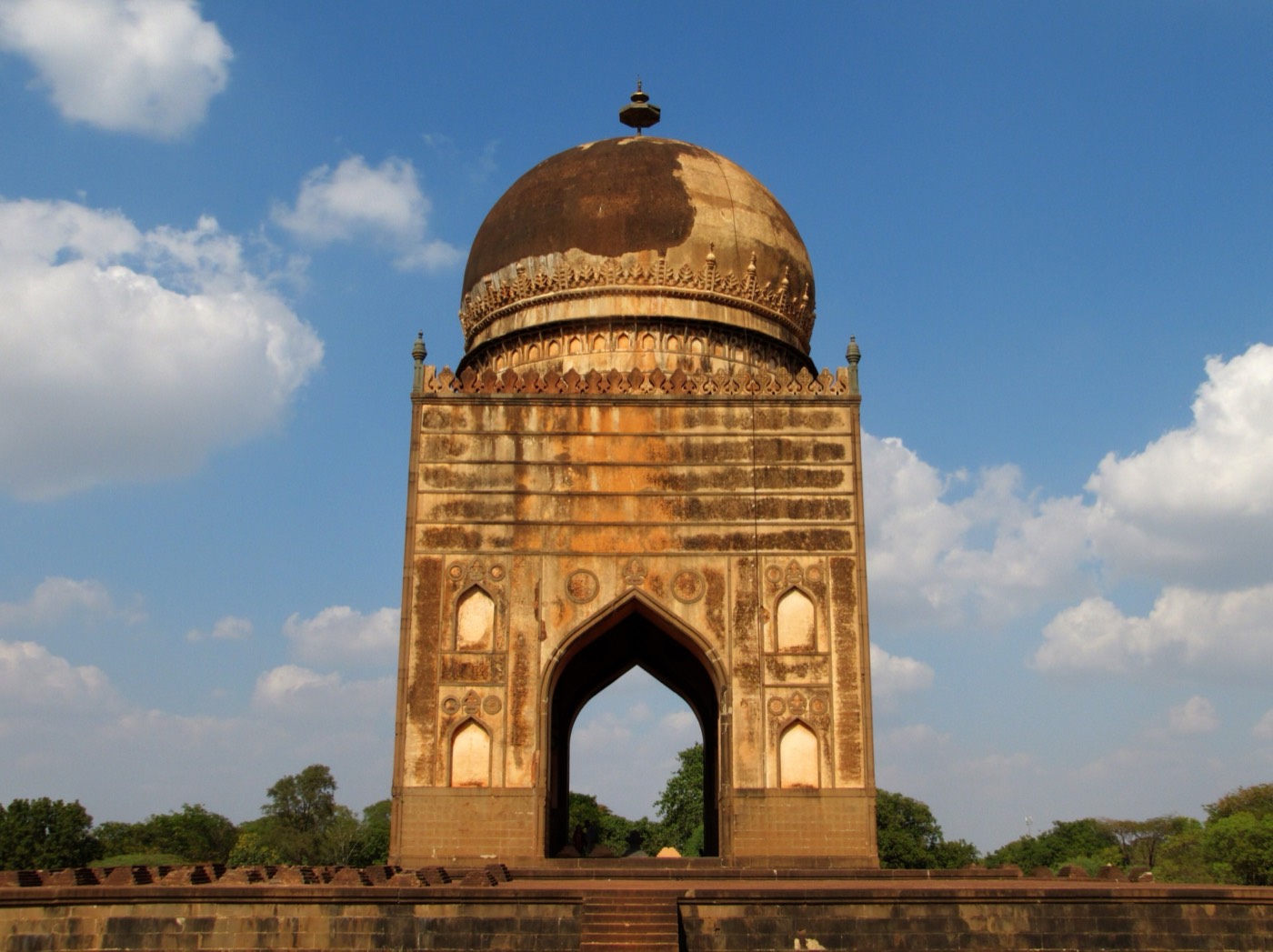
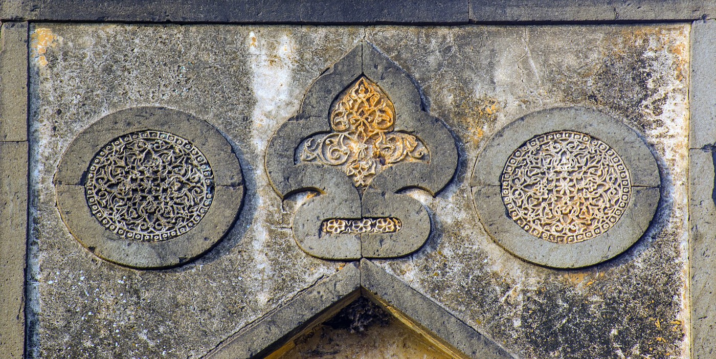
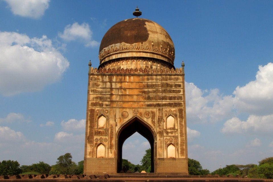
The tomb stands in a square walled court 140 yards (128 m) a side, laid out in walks and flower beds, with paths from gates on all four sides to the steps of its platform1. The main entrance is a two-storey gateway on the south, whose upper hall, known as the Naqqar Khana (music gallery), has a vaulted stucco ceiling and many small wall niches1. Each face of the square tomb opens in a single tall arch, 20 ft 7 in wide, flanked by smaller blind arches above a carved stone dado1. A globe-shaped dome on a decorated drum crowns the building, topped by a gilded copper finial1. UNESCO’s tentative-list text describes the tomb as standing in the middle of a symmetrical four-square garden2.
Yazdani judged the building top-heavy, its dome too large for its base, and noted that the four open arches break with the custom of keeping the qibla side of a tomb closed1. He attributed these choices, and the miniature copies of the dome in the decorative bands, to Hindu builders, and contrasted the bright interior with the dim halls of the Bahmani tombs1. A mosque with three arches, two slender minarets and a cistern 36 ft 3 in square adjoins the tomb court on the north-west1.
内部
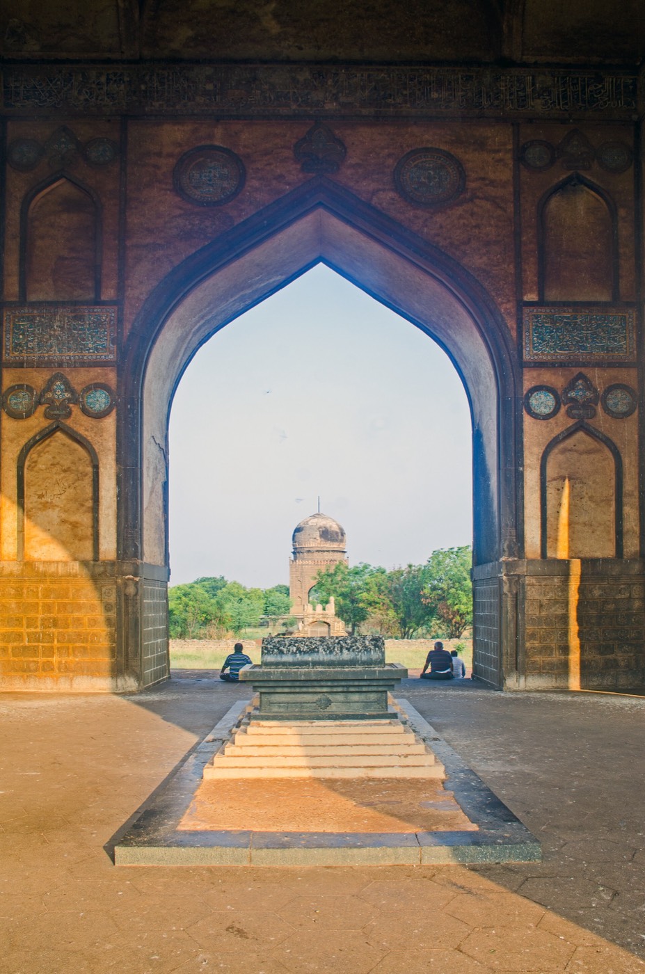
Through the four open arches light reaches a hall 37 ft 5 in square, paved with hexagonal stone slabs and lined with a stone dado carved with eight-petalled rosettes1. Above it, glazed tile panels carry verses by the Persian poet Attar on the passing of worldly glory; one panel gives the chronogram of the building and the name of the calligrapher, Khwajagi of Shirwan1. Higher up, bands of Qur’anic text in white thuluth script on a turquoise ground, designed by the calligrapher Abd al-Fattah, run round the walls, while squinches turn the square into an octagon and then a 24-sided ring below the dome1. On a low platform stand five cenotaphs; Ali Barid’s, of polished black basalt, is carved with the creed and the dates of the building and of his death1.
見どころ
- The four tall open arches, one on each side, which leave the hall bright and airy1.
- Tile panels with Persian verses by Attar on the passing of worldly glory1.
- White Qur’anic script on turquoise tiles, designed by the calligrapher Abd al-Fattah1.
- Ali Barid’s polished black basalt cenotaph, carved with the creed and two dates1.
- The two-storey south gateway with its upper Naqqar Khana hall1.
見学案内
- The tombs lie on the western side of Bidar, about 2 km from the old city1.
- Ali Barid’s tomb is entered from the south through the two-storey gateway; the mosque has its own entrance near it1.
- Ibrahim Barid’s unfinished tomb stands just west of the enclosure of Ali Barid’s tomb1.
公式情報: Archaeological Survey of India (ASI); UNESCO’s tentative-list text places the Bidar monuments under the ASI and state archaeology経路案内OpenStreetMapで開くビーダルのガイドツアー